The Lairg Project 1988-1996: The Evolution of an Archaeological Landscape in Northern Scotland
STAR MONOGRAPH 3 | Edited by Rod McCullagh and Richard Tipping
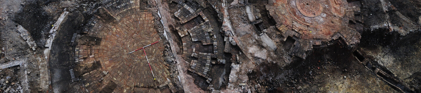
The upgrading of the road between Bonar Bridge and Lairg, Sutherland provided access to an area rich in archaeological remains. From 1988 to 1991 an intensive programme of survey and excavation was undertaken which recorded evidence of vestigial Neolithic settlement, extensive Bronze Age settlement and agriculture and its subsequent collapse. After 500 years, during the Iron Age, settlement and extensive agricultural landuse resumed and persisted until circa AD 1000. Thereafter, the land was dominated by pastural landuse. The final extensive phase of settlement was reflected by the excavation of a turf long-house from which the tenants, like so many of their neighbours, were probably cleared in 1807. Focusing on the dynamic relationship between the successive human populations and the landscape, the project has sought to chart the duration and impact of each major phase of landuse through various artefactual and ecofactual studies. These approaches, including soil pedology, plant macrofossil studies and palynological analysis, were supported by the most extensive radiocarbon-dating programme to date in Scotland.

Date of publication: 1998
ISBN: 0 9519344 5 7
Pages: 255
Illustrations: 114(B&W)
Plates: 9 (Colour)

