Archaeological Survey & Geomatics

Our geomatics team undertakes landscape and building surveys tailored to the assessment and recording of archaeological and built heritage.
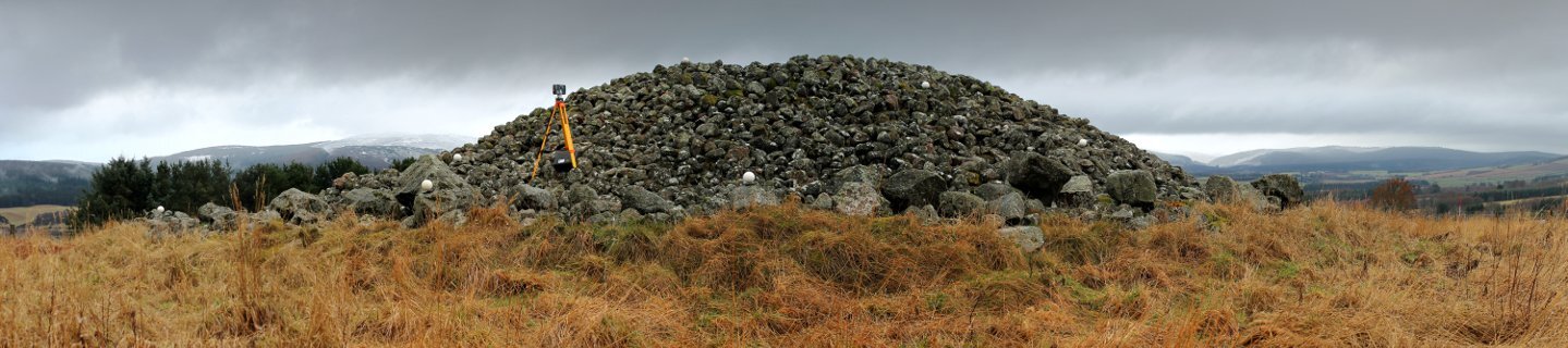
From walkover GPS surveys to high-definition laser scans, our team have long experience in the production of high-quality records of archaeological sites, structures and landscapes. We are leaders in the field of digital survey technology, and have developed a range of innovative solutions based on 3D laser scanning, photogrammetry and aerial LiDAR.

Our experienced historic buildings team can supply Building Design Briefs & Listed Building Applications, Building and Conservation Area Appraisals and Building Recording Surveys. We carry out archive research, structural interpretation and analysis, and provide monitoring and recording during demolition works. Together with our consultancy team we also are experts in the design of Conservation Management Plans.
Contact us to discuss
Topographic survey
Standing building survey
3D laser scanning
Photogrammetry
Artefact or carved stone digitisation
3D modelling
CAD and Illustration
GIS analysis and cartography

